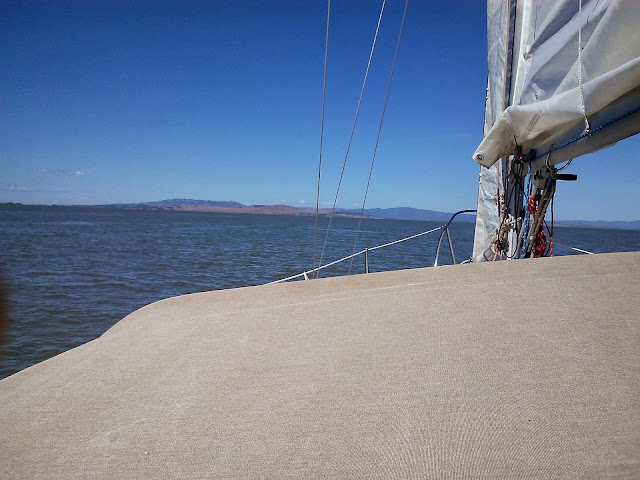
1. If coming from the South, plan to arrive at the Richmond Bay Bridge near the beginning of a flood tide. You will follow the flood all the way up the Petaluma River. If you go aground in the approach channel or the river, you will soon float off. I photographed a grounded sailboat we passed on the way back out the river on an ebb. If the skipper was aboard, he was sleeping or reading because it would be 6-8 hours before he got enough water to refloat. He was too far out on the flats for us to help and he did not appear or ask for assistance.
The first green entrance channel marker is located near to
the more visible production platform
Head North out of the deep water channel from the Brothers
The trip from Alameda takes about 8 hours
3. The long entrance channel that leads safely to the Petaluma River is clearly staked with red and green markers, but the water outside can be just a few feet deep so watch your chart plotter and look both fore and aft to keep inside the channel, which curves to port. The river entrance is shoal on both sides for at least half a mile out.
The channel runs between shallows and shoals into the river entrance
River entrance not visible from first sets of markers
Watch fore and aft to keep inside the channel
4. When you are finally into the Petaluma River, you pass through a railroad bridge that is always open and then under a highway bridge.
Petaluma River head with the two bridges
The best pass under the highway bridge is to the West or port, which appears to be straught ahead in the photo because we haven't come around the bend yet
5. The trip to Petaluma is about 15 miles up the river. About 11 miles upriver you will come to the River's End Marine. Below and beyond that area can be very windy. While passing the River's End Marina, I took down my reefed mainsail, which was up for stability in motorsailing. Then I didn't have to fight the tiller for control in the 20-knot winds.
Windiest area before and after the River's End Marina at Lakeville
6. I had reserved a time for opening the D Street Bridge two days in advance. You can make this reservation only by leaving a phone message. I called in six hours before the time to say that our ETA was changed from 3 to 5 PM, then called back to say 5:30 PM. Never got a human voice. Reservation are made through the city agency, with after hours and weekends through the police department. When we arrived at 5:30 PM there was massive rush traffic on the bridge. Finaly called the police telephone because the city office was now closed. I told the operator we had a reservation and were waiting for the bridge to open. She just shuttled the call to the city agency, which was now closed. No human being to talk to about a bridge opening at ANY part of the process. It was clear that no one was going to return my call or open the bridge. My take-home on this is that IF YOU CRUISE TO PETALUMA, GO ONLY ON A WEEKEND WITH A YACHT CLUB FLOTILLA. Petaluma caters to them and will be sure to open the D Street Bridge for them, but apparently NOT for lone cruisers even on weekdays with reservations. I suppose the main glitch is that there is no telephone communication other than messages or VHF radio communication with the bridge gods.
I turned around and motored back to the Petaluma Marina a bit more than a mile downriver, pulled into an empty slip, and spent the night there. Harbormaster gone home, couldn't get a key, so had a free sleeping place. Had to cast off before the Harbormaster returned at 7:30 AM to catch the outflowing ebb.
The D Street bridge and Turning Basin are at the extreme left side, the Petaluma Marina at the extreme right side of chart
7. To return to the Bay, catch the ebb and follow it all the way to the Richmond Bridge. But the exit from the river entrance is tricky. Lots of markers spread out. Which ones to take? Here's where a chartplotter comes in handy. You want the green and red markers on the far port side of the river. They will lead you safely out.
Confusing markers spread out across Bay when you exit the river
The correct red port marker out
Return from Petaluma on the ebb and you will get a good ride all the way back to the Brothers.


I enjoyed reading your articles. This was a great read for me. I have bookmarked it and I am looking forward to reading new articles.
ReplyDeleteI have some relevant information you can review below.
Custom tours
In a few days, I hope to be thanking you profusely for this.
ReplyDelete